 What is a Map Marker?
 What is a Map Marker?
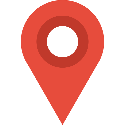
A map marker (pin or place marker) identifies a location on a map. It is a virtual flag in the ground, either using a default image provided by map software or a custom image (an icon or symbol). In the JavaScript language, a marker is an object with a type of Marker. Google Maps uses a distinctive, reverse teardrop icon for its maps.
Markers belong to a group of objects called overlays, which are aligned with specific coordinates on a map. Other types of markers include shapes (polygons, circles and rectangles), information windows (popups, tables and graphs), lines (called polylines as they represent sequences of locations) and images.
Marker objects are usually coded in layers so groups of information can more easily be programmatically manipulated (think of graphics software like Photoshop), e.g. when a user drags a marker to a new location, any objects in the same layer will move at the same time and retain the same perspective.
Mapping Aesthetics
Jens Rasmussen, a former Google engineer and co-founder of the company’s mapping software, invented the map pin or pushpin. A Google spokesperson told the New York Times, “Jens spent a lot of time thinking about what was appropriate to use as a pin — he avoided putting a dot or star flat on the map because it tended to obscure the area.”
Rasmussen’s map marker is functional (precisely indicating a place), practical (the bottom just tips the location) and aesthetically pleasing (it was exhibited at the Museum of Modern Art in 2015 and touted as “both recognizable and functional, precisely indicating a location without obscuring the area nearby.”)
Why Are Map Markers Important?
- Identify a location and points of interest (PoIs) in proximity to a geolocation
- Can reinforce a brand’s look-and-feel on custom maps
- Visual functionality means there’s no need for textual location descriptions
- Multiple types of markers can illustrate different locations, e.g. red for current position, blue for nearby medical facilities, orange for tourist attractions, etc.
- Interactivity – users can drag markers to new locations or click on them to display popup details about a location